In the Gard, five times more rain fell in March than is usually observed

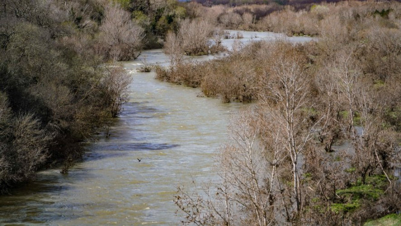
Les cours d'eau, comme le Gardon, ont été régulièrement gonflés par les précipitations de mars. Archive MIKAËL ANISSET
Météo France services look back on the rainy episodes of last March in Gard.
The Météo France services have published their readings for the month of March and unsurprisingly we can say that the Gard was much more rained than usual! On average, 294 mm of precipitation was recorded in the department, or 4.6 times more than what is observed at this time of year: & quot;This is the highest value since 1959, behind 1960 (273 mm)."The interior plains and the Cévennes foothills, the Cèze basin, along the Rhône were particularly exposed to rain.
Météo France indicates that several old stations have broken records. Nîmes-Courbessac, open since 1922, recorded 250 mm (normal at 45 mm) against 223 mm in 1960; Uzès, station created in 1895, 273 mm (49 mm); La Grand-Combe (1887), 431 mm (86 mm on average), Pont-Saint-Esprit (1909), 234 mm (45 mm) and Méjannes- le-clap (1991), 390 mm (59 mm), or 6.6 times more.
Remarkable values
The remarkable values for this month of March, without a broken record, concerned Mont Aigoual (514 mm), Villevieille (221), Le Vigan (451), Générargues (275), Saint -Christol-lez-Alès (265), Saint-Hippolyte-du-Fort (279) and Aigues-Mortes (112).
The rainy episodes were thus recurring with sometimes significant accumulations like on March 9 and 10 in the Cévennes: 200 to 300 mm! The latest one over the Easter weekend gave between 50 and 100 mm in the interior plains, 100 to 200 mm in the Cévennes.
Questioned about the exceptional side of this month of March, Adrien Bourgeois, meteorologist from the south-east division of Météo France evokes "type episodes Mediterranean generated by a thalweg (extension of low pressures of a disturbed system, most often U-shaped) bringing cold air to altitude and driving a south to southeast wind which brings ;nbsp;warm, humid air from the Mediterranean at low level."
This situation during which precipitation blocks the Cévennes, pushed by the wind, is observed more in autumn but can also occur in winter and spring "with less significant consequences of produces less heat. […] Climatologically, the end of winter and the beginning of spring do not seem conducive to this type of repeated episodes."
25-27°C on the Cévenol foothills
On average in the Gard, 64 mm of rain falls in March and 86 mm in April: "But, considering what has been observed in the past in 1960, 1928, 1956, this type of situation can occur in March, but remains rarer than other months. Variability is often very strong in the transitional seasons between winter and summer", we explain at Météo France.
Météo France also notes a warmer month of March than normal (recorded between 1991 and 2020), i.e. on average a temperature of +1.2 deg ;C (+ 1.7°C for minimums and + 0.7°C for maximums), with more wind, weaker sunshine (deficit of 10 to 20%).
And it should last. "The rise in temperatures this weekend is caused by the arrival of an Atlantic disturbance over the north of France. It causes a southwesterly flow which, reinforced by an anticyclone positioned over the eastern Mediterranean, advects a gentle air mass coming from North Africa< /em>, underlines Adrien Bourgeois. For the start of the school holidays, you should expect 25-27°C in the Cévennes foothills, between 22 and 24°C in Nîmes, 19-21°C; on the Gard coast.
Water Resources Committee
The Gard prefecture announces the next Committee of water resources by the end of April. It will discuss the state of the water tables which, thanks to the last rains in March, was able to improve in different ways. ;eacute;rent sectors of Gard.


