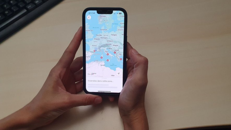
Locating fires in France using Google is now possible from this Tuesday, find out how to do it

À partir de ce mardi, il est possible de localiser les feux en cours sur une carte Google. ML
Il est possible de voir les incendies en cours en France sur une carte Google. Cette fonctionnalité désormais disponible dans l’Hexagone et dans plusieurs autres pays d’Europe devrait aider de nombreuses personnes pendant la saison estivale.
As the start of August approaches, temperatures are rising in France to the delight of holidaymakers. But this intense heat is feared by firefighters because of the increased risk of fires. If hectares of forest go up in smoke every year, it is possible to avoid certain tragedies, notably by avoiding fires and risk areas thanks to Google, reports BFMTV.
"Drawing wildfire boundaries"
Since Tuesday July 30, this feature, which is not so new, has arrived in France. Indeed, for more than a year, Americans have already been able to see the evolution and development of a fire on Google Maps or Google Search, in particular thanks to artificial intelligence and images. satellites.
“Forest fires are becoming more frequent. Europe is no exception. When a forest fire breaks out near you, the questions that arise are 'where is the fire', 'how far does it spread'… Our model can draw more precise forest fire boundaries than satellite imagery alone", said Yossi Matias, vice president and head of research at Google.
The main mission of the device is to inform the population, the web giant stressed. "At least 1.4 million users received an alert in Europe and Africa in the first week of July alone", Google said.
To see the fires on Google Maps, simply enter the word "fire"in the search bar and click on "Show info on map".
How it works ?
Localizing fires on Google is done mainly using AI (artificial intelligence), but also with satellite images. Concretely, the AI will compare images of previous fires, the damage caused, while using data related to ground vegetation, humidity, temperature, indicated Yossi Matias.
“We use AI to validate our wildfire model against our own model of fire scars, which are the shapes that are determined after a fire has been contained and based on measurements of previous events,”, he explained. “There are false hotspots, we need multiple hotspots to be sure it is a fire. Our updates are as close to real-time as possible, allowing us to show users the time of the last update, which is the time the satellite last identified the fire, in addition to the map boundaries,” he added.

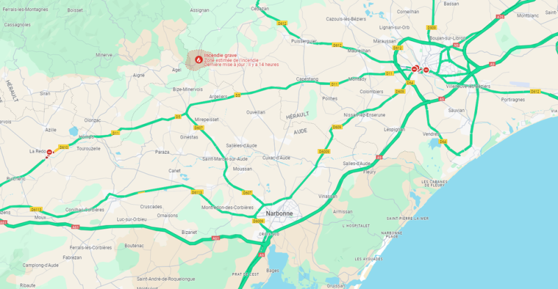
A fire currently in progress between Aude and Hérault between Narbonne and Béziers. Google Maps
The tool has already proven effective for several fires and outbreaks of fire in recent weeks, such as in Greece, Cyprus and Spain, thus protecting local residents, holidaymakers and the local populations of the areas concerned, facilitating the intervention of emergency services on site.


