
Rain in the south, thunderstorms and cloudy skies in the east of the country… what weather to expect this Wednesday, May 1 ?
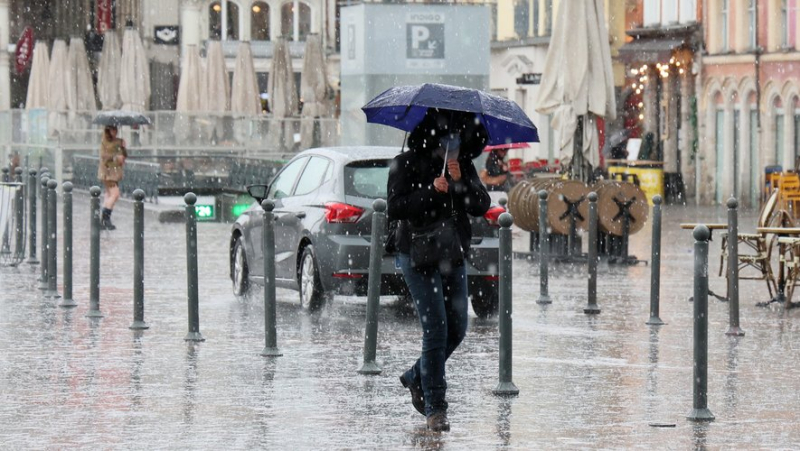
Un orage à Lille le 15 avril 2024. (illustration) MAXPPP – STEPHANE MORTAGNE
Pour ce 1er mai, jour de la fête du travail, le beau temps ne sera pas au rendez-vous. Découvrez les prévisions météorologiques de la journée.
From Wednesday morning, rain will extend from Provence to Languedoc, the Massif Central and Center, then quickly to Normandy, indicates Weather- France which placed 14 departments on orange thunderstorm alert.
In detail, Île-de-France, part of the Grand-Est, Hauts-de-France and Burgundy are concerned. Marne, Yonne and Aube will go on orange alert from 5 p.m., Paris, Seine-Saint-Denis, Seine-et-Marne, Val-de-Marne, ;#39;Essonne, Val-d'Oise, Yvelines and Hauts-de-Seine will be affected from 7 p.m. The last departments to join the alert will be Oise, Somme and Aisne from 9 p.m.
In these departments "the storms are expected to be virulent with high intensities of precipitation, hail, squalls" as well as "marked electrical activity", the meteorological agency indicated in its latest bulletin published at 6 a.m. this Wednesday.
Rain and snow
On the border Alps, a return from the east will bring sustained and regular precipitation with a rain-snow limit around 2,200 meters. It will rain more lightly on the Atlantic coast, except the Breton tip which will find variable skies. Elsewhere the sky will be very cloudy in general, brighter in the North-East.
⛈️ Ce 1er mai sera très arrosé au sud et à l'ouest. Orages forts de la Bourgogne vers la Picardie. ➡ https://t.co/3SZnwKCAD7 pic.twitter.com/6MyIN7FrLz
— Météo Express (@MeteoExpress) April 30, 2024
In the afternoon, to the west the rains will slowly sink into the interior of the country, in the Pays de la Loire, Poitou and the South-West. To the west of the Pyrenees the rain-snow limit will drop from 1,600 to 1,100 meters, to the east from 1,900 to 1,500 meters.
The rains will persist from Normandy to the Centre, Massif central, Languedoc and PACA, they will also reach Rhône-Alpes.
Thunderstorms in the East
In the North and North-East, the weather will deteriorate except in Alsace which will maintain sunny weather.
The sky will become cloudy and storms will break out in the late afternoon and evening in Burgundy-Franche-Comté. They will sometimes be violent with a risk of hail and good gusts of wind, up to 80 km/h. These storms will shift in the evening to Champagne-Ardennes, Ile-de-France then Hauts-de-France during the night.
Temperatures
Minimum temperatures will range from 8 to 12 degrees, locally 6 to 7 in Brittany, 11 to 14 near the Mediterranean. The maximums will range from 13 to 16 degrees in the southwest half of the country, from 14 to 20 degrees from the southeast to the north, from 20 to 25 in the northeast with peaks at 26 or 27 in Alsace.
Related Posts
-
 Around thirty walkers in the footsteps of the Vigan-Braquet Commando from St-Pons-la-Calm to Sabran
-
 FILE. Tourism in Occitanie more efficient in September: “we will have to get used to postponing our summer results”
-
 Hurricane Helene: 61-year-old former marathon runner sets out on 30-mile walk to attend his daughter's wedding
-
 Two local representatives to the departmental challenge around road safety