
Severe bad weather, storms… Hérault and Gard possibly affected by an episode in the Cévennes this weekend
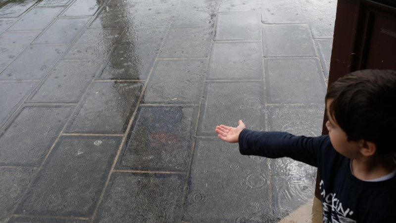
Météo-France annonce un épisode de pluies importantes en Méditerranée ce week-end (photo d’illustration). JEAN-MICHEL MART – Midi Libre
If the cool episode is over, trips to the beach in t-shirts will certainly not be on the agenda this weekend. Météo-France announces a rainy trend from this Friday, April 26, 2024. The Cévennes and Hérault are particularly exposed.
It almost felt like summer last week but this weekend, put away the flip-flops, bring out the rain boots.
Météo-France announces an episode of heavy rain in the Mediterranean. Intense showers could follow the rains on Saturday April 27 and cause thunderstorms, explains the meteorological station.
☔️ Changement de #météo ce jeudi, avec la fin de l'épisode de fraîcheur… mais une tendance à la pluie dans les prochains jours.
Les perturbations s’enchaînent et sont renforcées par moments par une goutte froide qui s’isole sur le proche Atlantique.
👉 https://t.co/rfYhfq7Y43 pic.twitter.com/CJzJVSjcrw
— Météo-France (@meteofrance) April 25, 2024
Showers, thunderstorms
This Friday already, a first disturbance is crossing the country, entering from the west. Result: more or less intense rains throughout the territory. In the afternoon, showers and thunderstorms take precedence over the rain over a major part of France.
1/2 Pour ce week-end mise en place d'une situation typique amenant de l'air chaud et humide sur le Golfe du Lion en basses couches. Il faut, dans un 1er temps, le "tremplin" des Cévennes pour amener des pluies durables et significatives. Restez informés https://t.co/Rjr8doTgIi pic.twitter.com/GrbveXblZg
— Météo-France Sud-Est (@MeteoFrance_SE) April 25, 2024
And this weekend?
Saturday, the rains will mainly affect the reliefs from Hérault to Ardèche, with 50 to 70%. mm which should fall, locally 100 according to Météo-France. The western half and the South-East will be under 10 to 20mm.
Sunday, the sun will still not be able to break through. A rainy front remains in place from the southwest to the northeast, continuing to water the Cévennes in particular and to a lesser extent a large area stretching from the Pyrenees to Franche-Comté. It should still fall between 30 and 50 mm between Hérault and Ardèche, locally 70, and 15 to 30 mm from the Pyrenees to Franche-Comté, Météo-France announces.
The Cévennes and their surroundings will be particularly affected by the precipitation. Since February, this is the seventh occurrence of a Cévennes episode, recalls Le Parisien. These bad weather generally occur in the fall, the occurrence of an episode in this season is exceptional, underline our colleagues.
📺 Averses parfois orageuses ce vendredi. Week-end instable avec des pluies et des orages.
➡ La météo à 10 jours : https://t.co/3SZnwKCAD7 pic.twitter.com/DpibIhKUNC— Météo Express (@MeteoExpress) April 25, 2024
Better next week?
The unstable weather and rains are expected to continue at the start of next week, according to Météo Express. Monday April 29, a rainy axis continues from the southwest to the Vosges with more active precipitation in the South, particularly from Roussillon to Cantal. Tuesday April 30 and Wednesday May 1, Labor Day, showers are still expected.
Related Posts
-
 The Minister of the Interior, Gérald Darmanin, formalizes in a speech the creation of a “status of the imam in France”
-
 IN IMAGES, IN PICTURES. “A refreshed space”, the new fountains of the Esplanade inaugurated for the music festival in Montpellier
-
 A minister at Midi Libre, a pizza champion, competitive markets: the essential news in the region
-
 Booba will file a complaint against Magali Berdah: the rapper accuses her of defamation and non-respect of the presumption of innocence