
Weather Alert: orange vigilance lifted, more than fifty departments maintained in yellow
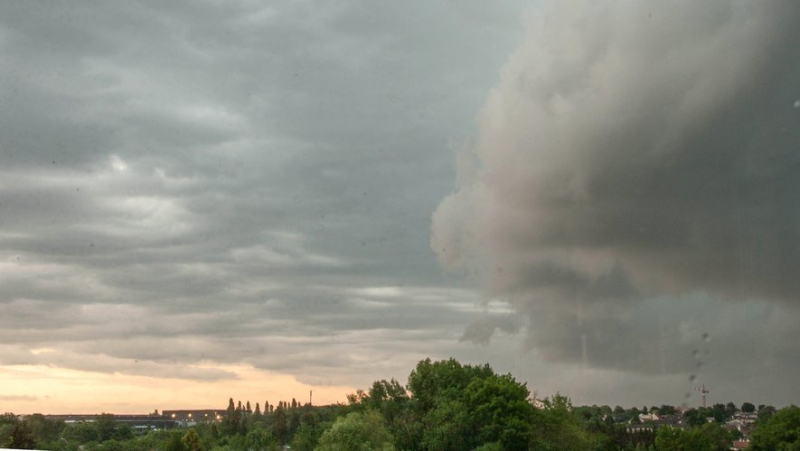
Update on vigilance this June 19, 2024 (illustration) MAXPPP – Bruno Levesque
According to the latest Météo France bulletin, major storms hit the southwest of France this Tuesday and during the night from Tuesday to Wednesday. If a lull returns this morning, it is only relative. The situation risks once again degenerating during the night from Wednesday to Thursday.
The situation is clearly improving this Wednesday. While the day before no less than 12 departments had been placed orange for thunderstorms, today, vigilance switches to yellow across all the territories concerned, announces Vigi weather France, according to its last bulletin updated at 6 o'clock.
More than 50 departments in yellow
If a clear lull should be noted compared to this Tuesday, which was particularly violent especially in Gironde, we must remain wary. The meteorological station still places 57 departments in yellow, mainly for the risk of storms, but also of rain-flooding and floods.
The particularly unstable climatic situation of recent days can therefore result in rapid and unforeseen weather changes.
Hail and tornado
As mentioned above, Gironde was hit hard by bad weather at the start of the week. Numerous images of the bad weather have circulated on social networks, such as on
⚡ La nuit dernière, un #orage supercellulaire a concerné l'ouest de la #Gironde en provoquant de gros #grêlons. Certains ont atteint 5 centimètres de diamètre, comme ici à #Hourtin. (photo Guillene Robinson) pic.twitter.com/HmV40nLfw6
— Guillaume Séchet (@Meteovilles) June 18, 2024
⛈️ La nuit dernière, un violent orage a apporté des grêlons de 5 cm de diamètre à Naujac-sur-Mer en Gironde, causant des dégâts. (© Angélique Pinto) pic.twitter.com/7N1ucnYzLk
— Météo Express (@MeteoExpress) June 18, 2024
This Tuesday, a tornado was observed in Oise, a department located north of the French capital.
🌪️Tornade dans l’Oise à Carlepont.
Voici des images impressionnantes du tourbillon touchant le sol.
Les premières observations font état de quelques dégâts sur toiture.Vidéo de Dominique Luisin pour @MeteoNordParis pic.twitter.com/nC6GUU8J1A
— Météo Nord Parisien 🌪⚡️🌈☀️ (@MeteoNordParis) June 18, 2024
🌪️Une #tornade a été observée en fin d'après-midi près de Carlepont dans le département de l'#Oise au passage d'un orage.
Vidéo : Vince Dsrmx via @MeteoNordParis pic.twitter.com/akQQGQMbFW— Meteo60 (@meteo60) June 18, 2024
Since the start of 2024, France has been the scene of particularly unstable weather, between monster floods in the north, but also in Occitania where several people have died or even cold waves as summer approaches.
Related Posts
-
 Frontignan-plage independent, change at the head of Blue Invest, no demo of jousting at the Olympics… the spray and sea waves of the week
-
 In Agde, Aurélien Lopez-Liguori (RN) takes the lead in the first round with 58.68% of the votes
-
 A beautiful cat story, a mayor who goes back into battle, a crazy abrivado: the essential news in the region
-
 Perrier, Contrex, Vittel… Nestlé comes out of silence and claims to have “intensified surveillance” of its French drilling